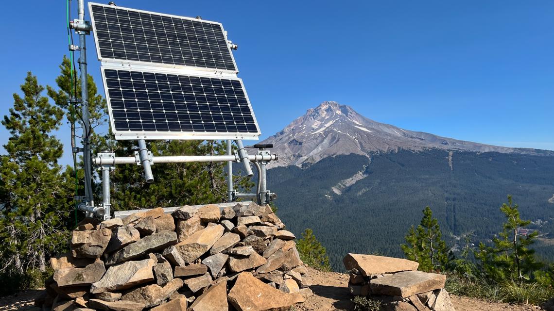
‘ShakeAlert’ earthquake early-warning system gets major upgrade
The system will now be better equipped to give warnings for the region’s strongest quakes, like the one expected from a rupture of the Cascadia Subduction Zone. ShakeAlert, an earthquake early-warning system, has received a major upgrade to its system to better detect and provide warnings for the region's strongest quakes. The system will now use satellite data from satellites to detect larger quakes, like those expected from a rupture of the Cascadia Subduction Zone. This technology allows for greater alert time for residents and government agencies, who can shut off water valves, stop trains or open firehouse doors. The ShakeAlert system uses a network of more than 1,500 ground-based seismic sensors, which can detect the first signs of shaking and alert residents before the ground starts moving. However, larger quake above Magnitude 7.0 could pose a challenge as the land, the coast, often moves out to sea by 9, 10, 12 feet.
Opublikowany : 2 lata temu za pomocą Kale Williams w Weather Tech Environment Science
The system will now be better equipped to give warnings for the region’s strongest quakes, like the one expected from a rupture of the Cascadia Subduction Zone.
Example video title will go here for this video
Example video title will go here for this video
ShakeAlert, the system that can send notifications of an impending earthquake, now uses data from satellites to better detect, and provide warnings for, the region’s largest temblors.
“While rare, earthquakes greater than magnitude 7 can have the greatest impact on human lives and infrastructure,” Robert de Groot, with the USGS ShakeAlert Operations Team, said in a statement. “Future major offshore earthquakes in the Pacific Northwest, which could be similar to the 2011 M 9.1 earthquake in Japan, underscore the importance of incorporating satellite data stream into the ShakeAlert System.”
The system uses a network of more than 1,500 ground-based seismic sensors that can detect the first signs of shaking and alert residents and government agencies before the ground starts moving where they are.
That can give residents time to take cover and government agencies to shut off water valves, stop trains or open firehouse doors to prevent them from jamming shut.
Those sensors do a stellar job of detecting small- to medium-strength quakes, said Diego Melgar, director of the Cascadia Region Earthquake Science Center and a professor at the University of Oregon, but the sensors might struggle with larger quakes above Magnitude 7.0.
“During really big earthquakes, the land, the coast — especially for the earthquakes we get in Oregon and Washington — will move out to sea by 9, 10, 12 feet,” Melgar said.
The seismic sensors can measure how quickly the ground is moving, but not necessarily how far it’s moving. Using GPS sensors and satellites solves that problem, Melgar said.
“That 12 feet, the seismometers struggle with that,” he said. “But because this is GPS technology, quite literally the same technology you have on your phone, if something moves 12 feet and it's moving 12 feet from Northern California to Washington, that’s not a Magnitude 7. That’s something really big.”
The Cascadia Subduction Zone, which runs off the West Coast, is due for another large earthquake, having last ruptured in 1700.
So, it’s not a matter of if, but when. That shouldn’t be a reason to cower in fear, though, Melgar said.
“It is an inevitability over the long run,” he said. “This is an example of how, rather than despair and have doom and gloom about the inevitability of these big events, there are things we can do.”
Tematy: Earthquakes